The AUREA, your hiking hotel
at Kronplatz

The Dolomites on one side, the 3,000-metre peaks of the Zillertal Alps on the other, and Percha right in the middle. Few places in Pustertal are better placed for hiking than the AUREA. From here, you’re just minutes from an Alpine pasture walk and half an hour from the Dolomites. Choose an easy morning walk or a full-day hike, then return tired and happy to the AUREA dining room in the evening.
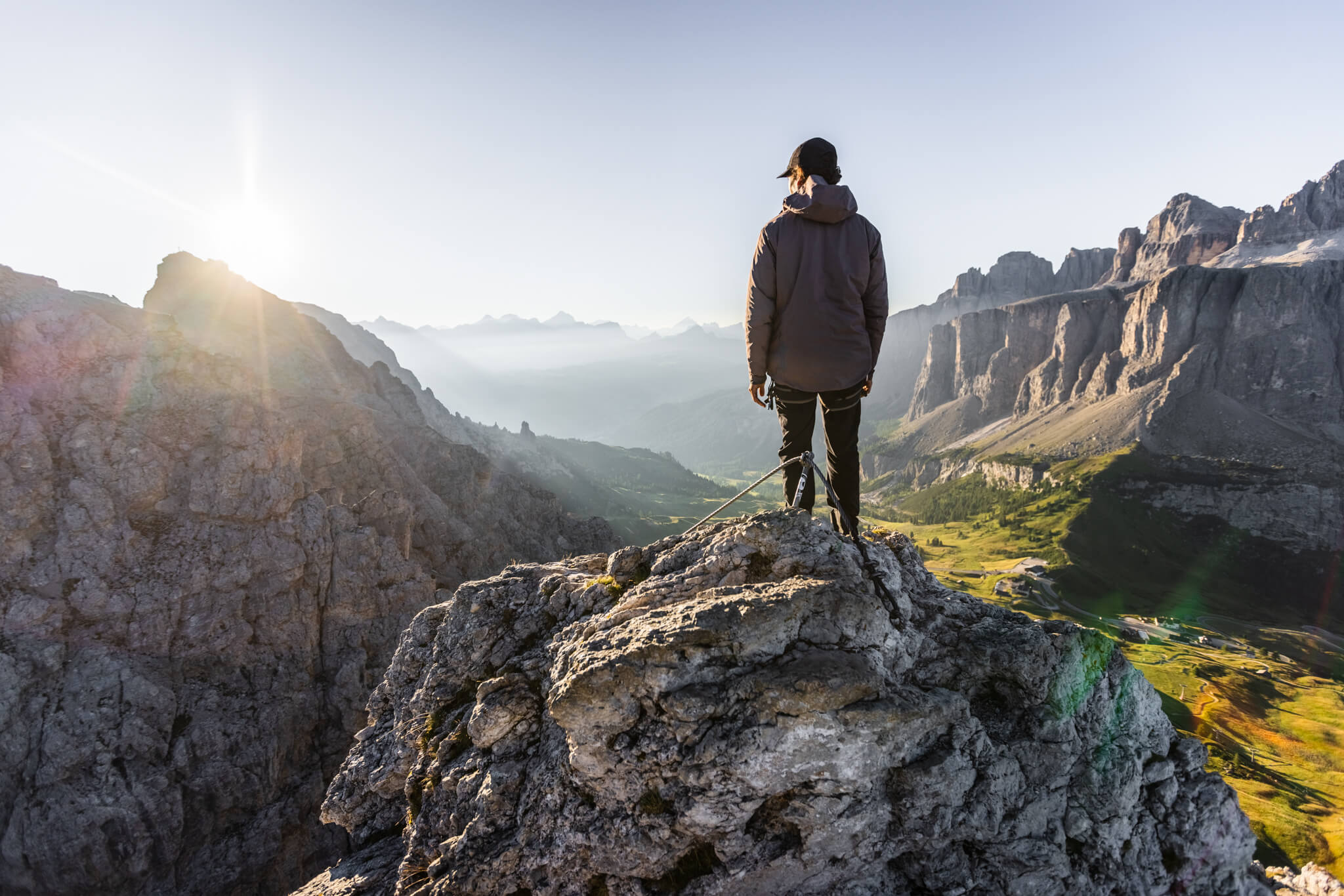
Hiker on a rocky outcrop overlooking a sunlit mountain valley

Easy walks for your hiking holiday at Kronplatz

Earth pyramids in Platten
Details

Distance: approx. 5 km | approx. 45 min.

You can reach the striking clay pillars in around 45 minutes from Oberwielenbach or Platten. Combine your walk with a stop at the Pyramidencafé.

Lercheralm
Details

From Oberwielenbach | approx. 45 min.

Follow the stream through the forest, gently uphill all the way. Children can enjoy the playground while mum and dad settle on the terrace. South Tyrolean food and peace and quiet. One of our favourite family walks.

Hofstatt Alm
Details

Anterselva/Antholzertal | Distance: approx. 23 km

An easy Alpine hike in Antholzertal: gentle underfoot, an ideal place to stop along the way, and views of the mountains that seem to grow more spectacular with every step.

Lake Dobbiaco/Toblach Circular Walk
Details

Distance: approx. 26 km

Walk along the shore, hire a rowing boat, or simply sit on a bench and take in the view. Quieter than Lake Braies/Pragser Wildsee, but every bit as beautiful. The route is also suitable for pushchairs.

Lake Braies/Pragser Wildsee Circular Walk
Details

Distance: approx. 24 km

Emerald-green water framed by the steep walls of the Braies/Prags Dolomites. The circular walk is easy but spectacular. In high season, you need to book online to drive to the lake.

Misurina Lake Circular Route
Details

Distance: approx. 60 km

A little further away, but worth the journey. The lake lies at 1,754 metres above sea level, surrounded by the Cadini peaks with the Three Peaks beyond. An easy walk through what feels like a foreign landscape.

Two hikers beside an alpine lake with snow-capped mountains reflected in the water

Moderate hikes

Sturdy footwear, sun protection, plenty of water, and a check of the weather forecast should go without saying on every hike.

Gönneralm mountain hut
Details

From Oberwielenbach | approx. 1.5 hours

It was once voted South Tyrol’s favourite mountain hut – and it’s easy to see why. At just under 2,000 metres above sea level, with Rammelstein behind you, your plate of Kaiserschmarrn (torn pancakes) somehow tastes even better.

Pertinger Alm
Details

From Terenten | approx. 2 hours

Hike uphill through the forest until the trees open onto views across the entire Pustertal basin. Stop for something to eat at the top, take a breath, and discover why people keep coming back.

Tesselberger Alm
Details

From Tesselberg | approx. 1.5 hours

Tesselberg is a small mountain village above Percha, and up at the Alpine pasture, time seems to slow down. This is a peaceful walk away from the busier trails.

Mt Specie/Strudelkopf summit hike
Details

From Prato Piazza/Plätzwiese | distance: approx. 30 km

Climb from Prato Piazza/Plätzwiese to Mt Specie/Strudelkopf for a Dolomite panorama that will stay with you: Hohe Gaisl, Picco di Vallandro/Dürrenstein, the Cristallo Group, and the Three Peaks lined up as if for your inspection.

Sambock summit hike
Details

A summit with stunning views above Pfalzen. Not the best-known mountain in the region, but one with real character.

Kronplatz summit: Concordia 360° & Via Artis
Details

Two unusual trails await at the top of Kronplatz. The Concordia 360° circular trail explores the geology of the surrounding mountains, while Via Artis – the world’s highest open-air art gallery at 2,275 metres above sea level – features works by regional artists made from storm-damaged timber.

Challenging hikes

Montone/Rammelstein summit hike
Details

From Oberwielenbach

Percha’s local mountain – steep, direct, and a view from the summit that’s worth every step. From up here, you can take in Bruneck, Pustertal, and the Dolomites in a single sweep.

Three Peaks circular route
Details

Distance: approx. 50 km | approx. 3 hours

Circle the symbol of the Dolomites. The route starts at Auronzo Hut, which you can reach by car or bus from Toblach. In the high season, access must be booked in advance.

Picco di Vallandro/Dürrenstein summit hike
Details

From Prato Piazza/Plätzwiese

At 2,839 metres above sea level, Picco di Vallandro/Dürrenstein is one of the highest peaks in the Braies/Prags Dolomites. The hike from Prato Piazza/Plätzwiese is long and demanding, but you are rewarded with a dramatic view over the valley far below. For experienced hikers only.

Sass de Putia/Peitlerkofel circuit
Details

Distance: approx. 45 km

One of the classic circular hikes in the Dolomites. Sass de Putia/Peitlerkofel towers over the entrance to Villnösstal valley, and the route leads through scree-filled cirques and along sheer rock faces. Sure-footedness and a good level of fitness are essential.

The mountains are beautiful…

…and up here, the world seems to slow down. A bench by the trailside. Cows in the pasture. The sun on your skin. And, eventually, apple strudel at a mountain hut.
Longer hikes at higher altitudes need a little preparation: check the route, keep an eye on the weather, and pack sturdy footwear. And if you’re tackling the tallest peaks, go with an experienced mountain guide. We’ll be happy to put you in touch with one.

Percha lies at the heart
of three nature parks.

The Rieserferner-Ahrn Nature Park begins just above Percha: glacial lakes, 3,000-metre peaks, and trails where you can walk for hours without meeting another soul. Half an hour to the south lies the Fanes Sennes Prags Nature Park, with its high Alpine pastures, Ladin legends, and a tranquillity that is hard to find elsewhere in the Alps. Last but not least, to the east there’s the world-famous Three Peaks Nature Park. It would be hard to imagine a better location for a hiking hotel at Kronplatz.

Colorful petunias in the foreground with a mountain valley and cloudy sky beyond

App tips

You’ll find the most scenic routes, complete with descriptions, maps, and GPS data, in the free Sentres – South Tyrol Travel Guide and Outdoor Südtirol apps for iOS and Android.

When is the best time to visit a hiking hotel in Pustertal?
Details

From May to October – depending on how high you want to go. The first Alpine huts open in May, followed in June by those at higher elevations. Between mid-June and early July, the high-mountain trails also become snow-free. Autumn is our favourite time of year: golden larches, clear views, and quiet trails. In summer, the Kronplatz cable cars operate from Reischach.

Do you need a car to reach the hiking trails?
Details

No. Many hikes start directly from Percha. For everything else – Lake Braies/Pragser Wildsee, Prato Piazza/Plätzwiese, and the Three Peaks – buses and trains will get you there. Once you’ve arrived at our hiking hotel at Kronplatz, you can leave your car in one of our indoor or outdoor parking spaces.en Innen- und Außenparkplätzen lassen.

What else is there to do in summer besides hiking?
Details

Plenty. Go rafting on the river Ahr in Ahrntal, take off from Kronplatz on a tandem paragliding flight, or tackle the zipline in St. Vigil. For something quieter but no less impressive, visit Bruneck Castle and the Messner Mountain Museum Ripa or Taufers Castle above Sand in Taufers. Just ask us, and we’ll be happy to help you plan your day.

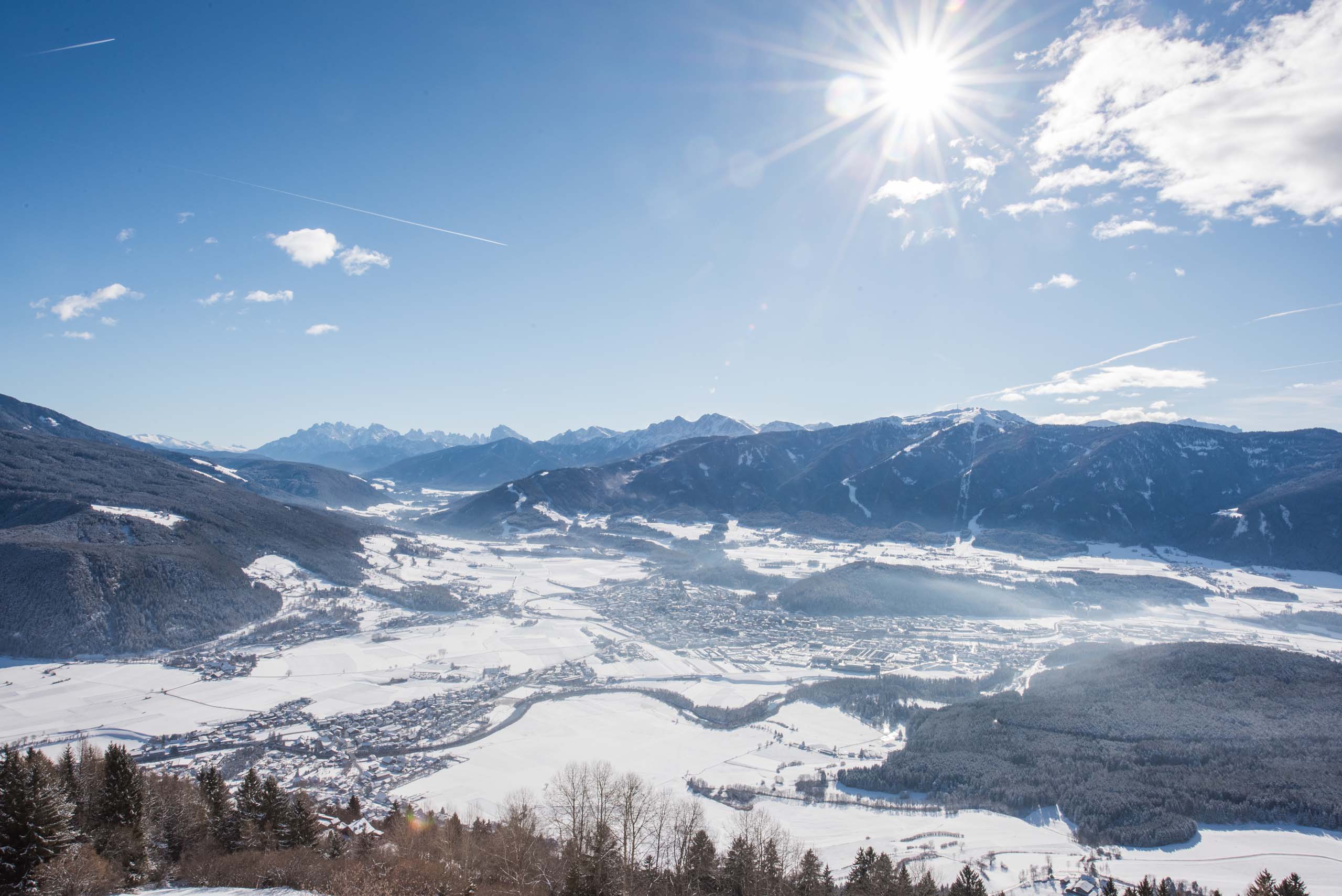
Sunny panorama of a snow-covered Alpine valley surrounded by mountains and forests
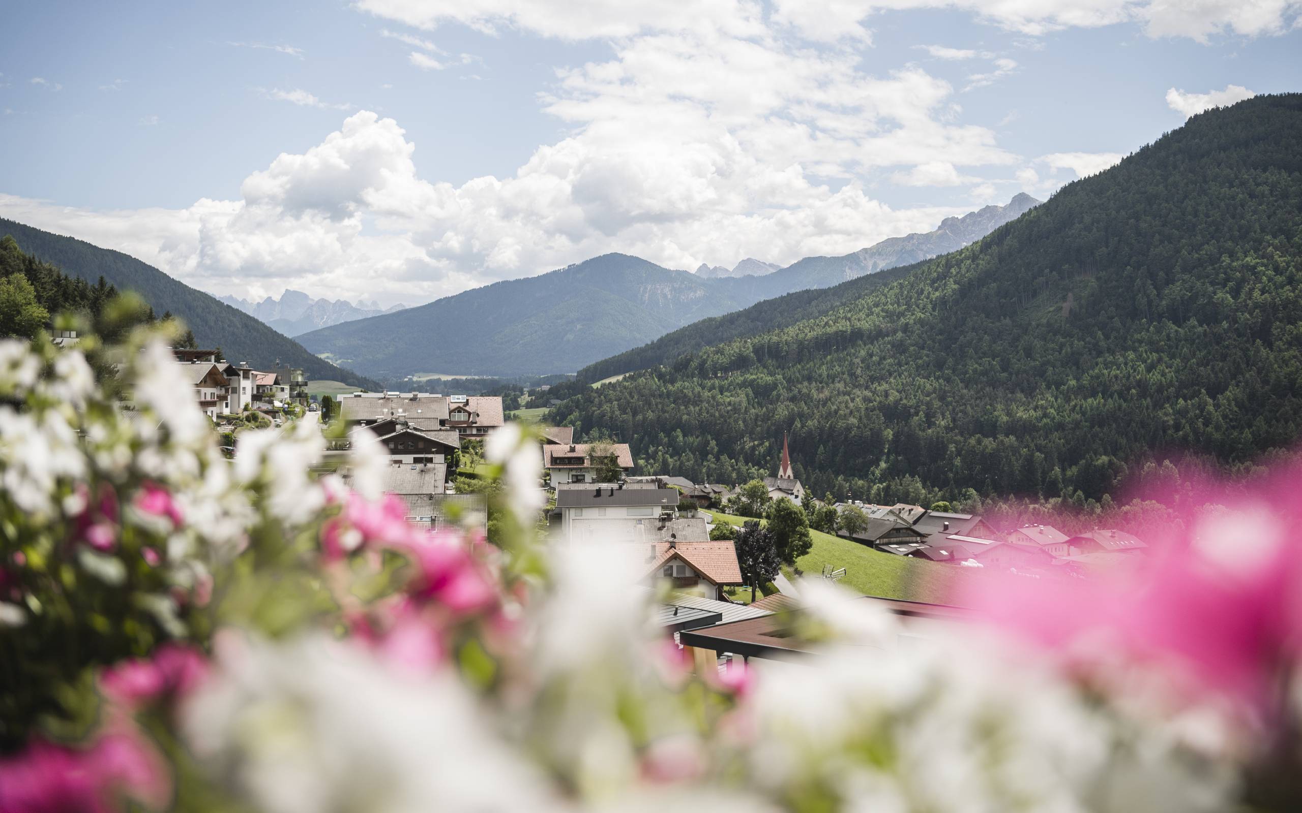
Mountain village in a green valley, framed by mountains and blurred pink and white flowers
Some say Pustertal is the most beautiful spot in South Tyrol. iAt the AUREA, that’s a fact.

Up here on the sunny slope above Percha, everything is nearby: Kronplatz, the Pustertal Cycle Route, Lake Braies/Pragser Wildsee, and the Dolomites on the horizon.